
Hazard Zoning for Rockfall
The Österreichische Raumordnungskonferenz (ÖROK) set up a partnership in 2011 to deal with “Risk management for gravitational natural hazards in landuse planning”. As gravitational natural hazards have a decisive influence on development in the Alpine Region, standard procedures were developed for the assessment of the relevance of these processes for landuse planning.
The first step to define potential conflicts between the maximum run-out of rockfall processes and the presence of settlements is a conservative empirical assessment based on rock outcrops serving as potential detachment zones and the maximum reach of such rockfalls, leading to a hazard indication map. You find more information here:
Mölk
et al - 2017 - Geomechanics_and_Tunnelling.
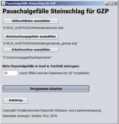
A special gis tool in German was developed by The Austrian Service for Torrent and Avalanche Control to generate this hazard indication maps (look at image below) without specialized gis knowledge. In the year 2017 this tool was presented by Benedikt Rieder at the Interdisciplinary Workshop on Rockfall Protection : Rocexs 2017 in Barcelona.
